About BaSIS

phone_android

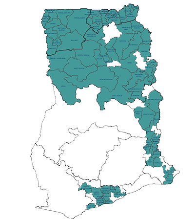
Ghana has adopted the Community Led Total Sanitation (CLTS) as the rural basic sanitation promotion approach. This approach thus, replaces the subsidy approach which failed to bring an end to open defecation (OD). Since 2010, the country has made efforts to scale up CLTS to all districts. The Government-led implementation has concentrated its efforts in four regions - Upper West, Northern, Volta and Central Regions. While there are reports of success in some disitricts where the approach has been implemented, there remain some challenges that need to be addressed.

Basic Sanition Information System - (BaSIS)

Basic Sanitation is the lowest-cost technology ensuring hygienic excreta and sullage disposal and a clean and healthy living environment both at home and in the neighbourhood.

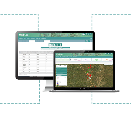
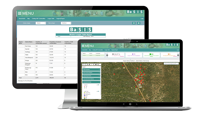
BaSIS is a decentralised M & E sanitation system developed to aid in the implementation of CLTS (Community-Led Total Sanitation), at both sub-national and national levels. The system is built to populate data collected from approved sources based on some sanitation indices in the form of maps, charts and tables. BaSIS, on varying levels of usage, will easily aid policy makers, governments and investors in decision-making.
As the system presents to users a more-visualised appproach to viewing sanitation data, further analysis could as well be carried out properly.

Explore BaSIS

Features of BaSIS

phone_android
verified_user

Mapping Capabilities.

  • Community maps showing households and latrine type distribution with pictures of latrines.
  • Interactive maps with popus containing additional information regarding communities, households, latrines, schools and health facilities.
  • District level mapping of other indicators computed on BaSIS
  • Work at any scope of interest (Region, district or community)
verified_user

District Dashboard Feature

  • Automatic SMS prompts to facilitators
  • Measure periodic performance with district targets
  • Alerts on district field facilitator follow up visits trends and performance
  • Access to raw district baseline and progress data (data export capabilities)
verified_user

Reporting Capabilities

  • Report filtering based on periods (weekly, monthly, quarterly or yearly)
  • Summary Statistical (Tabular and Graphical reports on key indicators)
  • Report generation at different scope (Regional, district or community)
  • Template reports for reporting standardization across district

Interactive Map

Interactive map allows users to filter and visualize desired datasets for spatial analysis.

Comprehensive Reports

One can generate custom or predefined reports depending on requirements.

Backend for Validation

Backend is for managing data, data validation and quality assurance and to manage users and authentication levels.

Spatial CLTS database

BaSIS has a rich spatial database that is constantly being updated in real time.